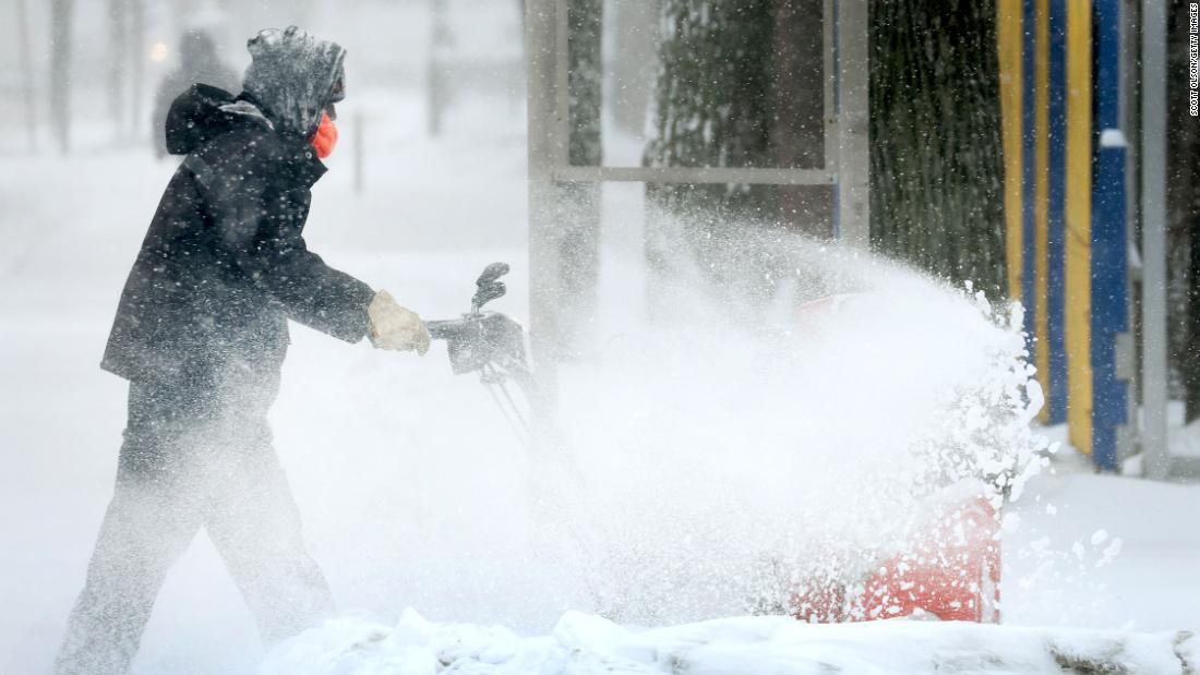
The massive storm could make travel miserable and leave many in the dark
The heavy mixture of precipitation could deliver power outages, tree damage and dangerous travel conditions, the forecasters said. Areas seeing those conditions can also expect to experience below freezing temperatures in the days after the wintry mix ends.
Leaders of the state’s power grid — Electric Reliability Council of Texas, or ERCOT — reassured Texans Wednesday that they anticipate to be prepared to handle the high demand the storm will deliver but also warned there may be local outages unrelated to capacity.
Here’s when and where to expect ‘several rounds of winter weather’
As the storm system pushes farther east, forecasters say it will deliver a variety of winter weather hazards.
“The system will be prolonged with several rounds of winter weather lasting through Friday for portions of the central U.S. before shifting to the interior Northeast,” the NWS said Wednesday.
Here is forecast information from CNN meteorologists Robert Shackelford and Mike Saenz for some cities in the storm’s path:
St. Louis: The city could see between 5 and 8 inches of additional snow Thursday after already getting about 4 inches in isolated areas. Peak conditions will last through 11 a.m. Thursday.
Memphis, Tennessee: An additional quarter inch to half inch of ice are expected Thursday, when conditions are expected to peak between 4 a.m. and 1 p.m. About one tenth of an inch of ice has already been reported.
Louisville, Kentucky: Up to half an inch of ice is expected to form. Plus, about 1 inch sleet and snow — each — is projected to fall. Peak hours for a mixture of freezing rain, snow and sleet are 7 a.m. Thursday through 1 a.m. Friday.
Little Rock, Arkansas: The city could get up to a half inch of ice in addition to an inch each of snow and sleet. Peak hours are expected between 3 a.m. and 11 a.m.
Oklahoma City: A record daily maximum snowfall of 3 feet was already measured and another four inches of snow is possible. The area could also reach half an inch of ice.
Chicago: The Windy City could see up to 4 inches of additional snow pile on top of the nearly 9 inches that already fell.
Cincinnati: This part of Ohio may see up to 0.3 inch of ice. Snow and sleet are projected to fall between 3 and 6 inches. The peak is projected to be Thursday morning when freezing rain will change to snow by afternoon.
Indiana: After getting slammed with more than 11 inches of snow, South Bend could see an additional 2 to 6 inches. Peak conditions will persist though 6 p.m. Thursday. In Indianapolis, where up to 3 more inches of snow could fall, peak conditions will also last through 6 p.m. About 4 inches have already fallen, with some areas seeing as many as 8 inches.
Buffalo, New York: This upstate region could see between 7 and 13 inches of snow, which is expected to peak Thursday afternoon through evening.
Travel is already miserable
Dangerous travel conditions were already seen Wednesday in Illinois, where officials closed parts of several highways after crashes led to some injuries.
“The combination of the volumes of snow, high winds, and frigid temperatures make travel near impossible in some areas of the state with several highways shutdown from vehicle crashes and jack-knifed semi-trucks,” Kevin Sur, spokesperson for the Illinois Emergency Management Agency, told CNN.
In Springfield, a train crashed into a car that became stuck on the tracks due to snow Wednesday night. The driver — the only person in the car– was able to get out in time, Springfield police said, noting no injuries were reported. CNN reached out to Amtrak for more information.
How officials are preparing
In anticipation of those potentially dangerous conditions, some schools have canceled classes this week.
The Dallas Independent School District will close Thursday and Friday, and schools are not expected to make up those days, officials said.
School districts in Kansas City, Missouri, and Santa Fe, New Mexico, also shuttered classrooms Wednesday due to the storm.
Meanwhile, state leaders are taking steps to prepare.
The governors of Illinois and Arkansas deployed their states’ National Guard while Missouri and Oklahoma are under states of emergency through Thursday.
Arkansas allocated $250,000 for recovery efforts. And Illinois prepared more than 1,800 trucks and equipment to plow, treat roads and respond to weather emergencies, according to the state’s Department of Transportation.
CNN’s Joe Sutton, Holly Yan, Amanda Musa, Jenn Selva, Pete Muntean, Greg Wallace, Rosa Flores, and Michelle Watson contributed to this report.
![]()


